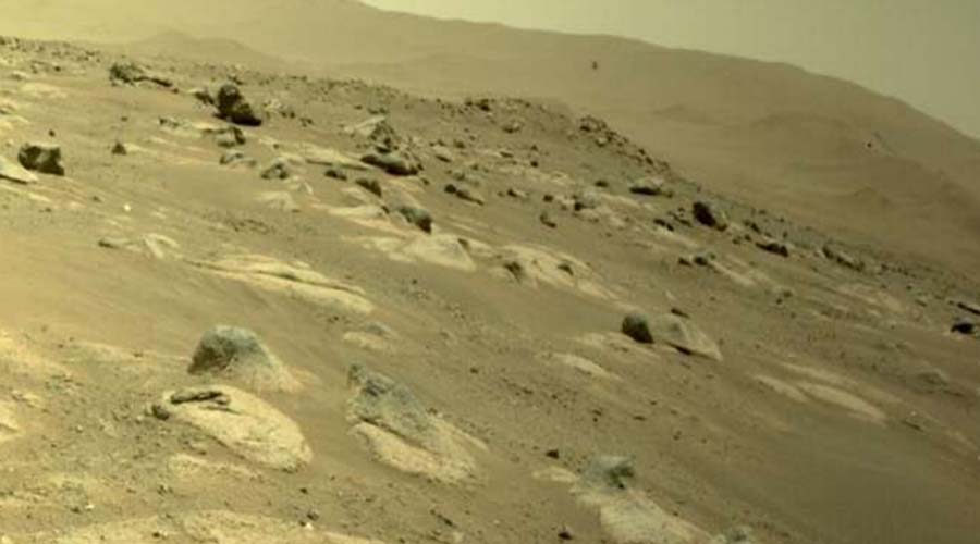


Mount Everest Got 3 Feet Higher
- 09-Dec-2020
- 0 Comments

On Tuesday, the Foreign Ministers of Nepal and China jointly certified the elevation of Mount Everest at 8,848.86 metres above sea level — 86 cm higher than what was recognised since 1954. The common declaration meant that the two countries have shed their long-standing difference in opinion about the mountain’s height — 29,017 feet (8,844 m) claimed by China and 29,028 ft (8,848 m) by Nepal. In feet, the new elevation is about 29,031 ft, or about 3 ft higher than Nepal’s previous claim.
No other mountain has perhaps been the subject of as much debate. Over the years, there have been debates on issues like whether it should be “rock height”, or whether the snow cladding it, too, should be accounted for.
This was determined by the Survey of India in 1954, using instruments like theodolites and chains, with GPS still decades away. The elevation of 8,848 m came to be accepted in all references worldwide — except by China. Mount Everest rises from the border between Nepal and China.
There was also a third estimate, even higher. In 1999, a US team put the elevation at 29,035 feet (nearly 8,850 m). This survey was sponsored by the National Geographic Society, US. The Society uses this measurement, while the rest of the world, except China, had accepted 8,848 m so far.
Until the devastating earthquake of April 2015, Nepal's Survey Department had perhaps never considered the idea of measuring Mt Everest. But the earthquake triggered a debate among scientists on whether it had affected the height of the mountain.
The government subsequently declared that it would measure the mountain on its own, instead of continuing to follow the Survey of India findings of 1954.